Unify fleets, waste collection, wards, and citizen services into one live command center built for Urban Local Bodies.
One system, four layers — fleet and collection on the ground, geography and billing behind it.
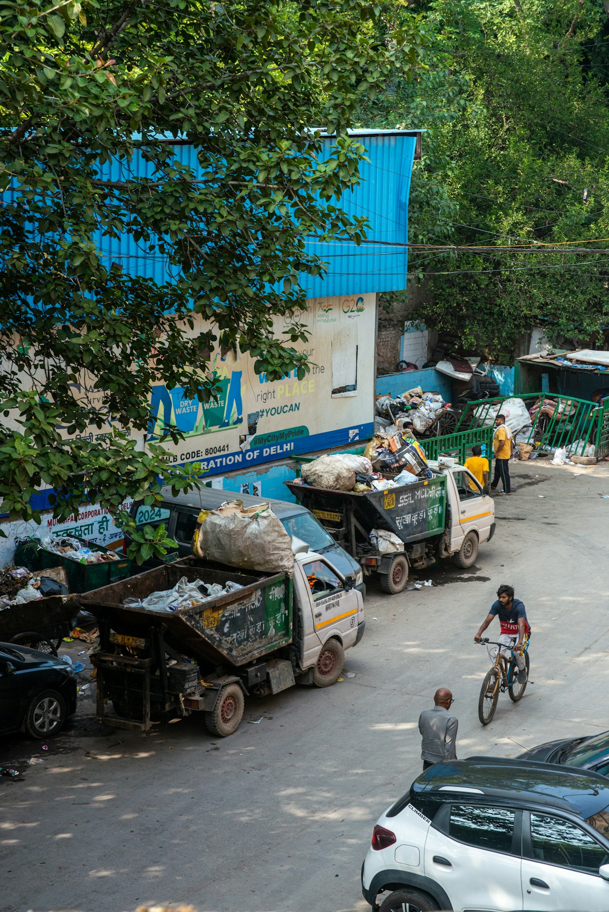
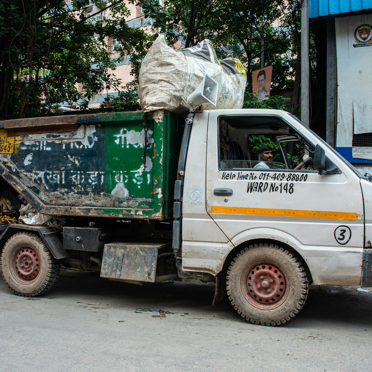
Supervisors watch trucks move ward by ward — and see how much of each planned corridor was actually covered, not just where the GPS last blinked.
Every truck on the map — where it is now, and the path it drove an hour ago.
Corridor covered vs. corridor planned, as a percentage — not a trail of GPS dots.
Yards, transfer stations, and ward lines fire entry and exit alerts when a vehicle crosses.
Every house on the map — collected or missed — updated as crews move.
Property-wise status refreshed as the crew works the route.
Visit logs rolled into daily and monthly station reports.
Geography, crews, and properties kept in one register.
State → district → city → zone → ward → route, mapped once and reused.
Driver and helper check-in confirmed against the geofence, not a paper sheet.
House records, boundaries, and property types in a single registry.
Ward and zone payment summaries, logged in INR.
PDF, Excel, or print — ready for compliance review.
Fleet, waste, billing, attendance, and housing in a single platform.
Planned vs. actual corridor, with real coverage percentage.
Collection metrics, live maps, and property-wise reporting.
Real-time updates across zones, wards, and large field teams.
INR currency, Asia/Kolkata time, and DD-MM-YYYY dates.
Each municipality gets its own branding, logo, and map defaults.
Set up zones, wards, routes, vehicles, and GPS devices for your ULB.
Add drivers, helpers, and supervisors with attendance geofences.
Track fleet maps, waste collection, and route coverage in real time.
Generate automated summaries, exports, and compliance reports.
Unified fleet tracking, door-to-door collection, and ward-level operations in one municipal platform.
Fleet · Waste · WardsLive route coverage and field attendance for sanitation teams across municipal zones.
Coverage · AttendanceProperty registry, collection tracking, and reporting tailored for ULB day-to-day ops.
Registry · CollectionZone and ward management with GPS geofencing for vehicles and transfer stations.
Zones · GeofencingDikshank speaks the language of Indian civic operations—from INR and IST to familiar date formats, local maps, and municipality-owned branding.
Talk to the Dikshank team →Tell us about your ULB — fleet size, zone count, and what you need to unify. We'll show where Dikshank fits before you commit.
See fleet maps, waste collection, and route coverage for your municipality.
We'll map a pilot for your zones, wards, and field workforce.
White-label branding and per-client map defaults from day one.